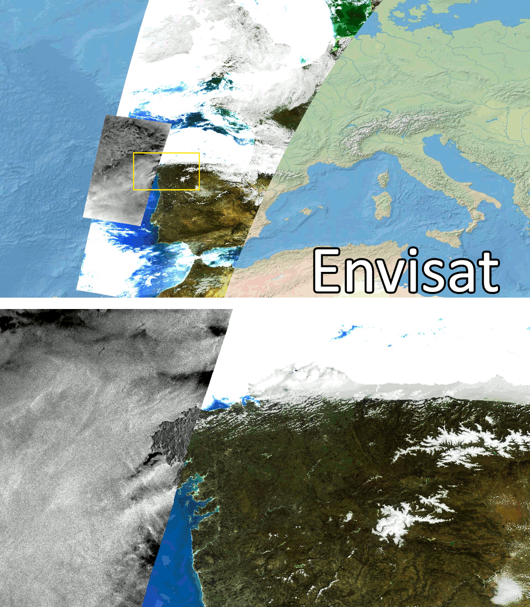
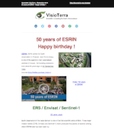
Le 8 avril 2012, le contact a été perdu avec le satellite Envisat après 10 ans d'opération. Ce mastodonte de 8 tonnes portait à son bord 10 instruments scientifiques : -ASAR, -MERIS ... Sentinel Vision salue l'héritage d'Envisat
ENVISAT - Precursor of the Sentinel
On April 8, 2012, contact was lost with the Envisat satellite after 10 years of operation. This 8-ton behemoth carried on board 10 scientific instruments: -ASAR, -MERIS ... Sentinel Vision salutes Envisat's legacy
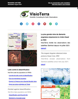
Envisat : 10 ans en Golfe de Guinée
VisioTerra publie un article montrant la distribution des nappes d'hydrocarbures observées de 2002 à 2012 par l'instrument Radar ASAR d'Envisat. L'étude statistique concerne les nappes issues de déballastages, de fuites de plateformes ou de fuites naturelles. On y trouvera le classement des 16 pays du Golfe de Guinée.
Envisat: 10 years in the Gulf of Guinea
VisioTerra publishes an article showing the distribution of oil slicks observed from 2002 to 2012 by the Envisat ASAR Radar instrument. The statistical study concerns slicks resulting from deballasting, platform leaks or natural leaks. It includes the ranking of the 16 Gulf of Guinea countries.
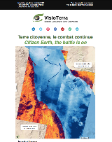
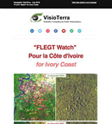
VisioTerra a fabriqué un indicateur permettant la détection d'inondations à l'aide d'acquisitions radar Sentinel-1. Cet indicateur a été mis œuvre dans le cadre d'un projet d'évaluation environnementale pour mettre en évidence les zones à risques dans les sous-préfectures d'Abidjan, de San-Pedro et du Grand Béréby.
New flood indicator
VisioTerra has produced an indicator for flood detection using Sentinel-1 radar acquisitions. This indicator has been used in the framework of an environemental assessment project to highlight the risk areas in the sub-prefectures of Abidjan, San-Pedro and Grand Béréby.
Plateformes de suivi
Dans le cadre du programme GMES&Africa, VisioTerra a supporté AfEOS pour le développement de plusieurs plateformes : de suivi de l'agriculture et de l'irrigation avec MISBAR et de suivi des forêts avec CAFWS.
Monitoring platforms
In the framework of the GMES&Africa program, VisioTerra has supported AfEOS in the development of several platforms: agriculture monitoring with MISBAR and forest monitoring with CAFWS.
Les opinions exprimées dans ce document reflètent uniquement les résultats des travaux et l'opinion de VisioTerra.
The views expressed herein reflect solely the results of the works and the opinion of VisioTerra.