Education
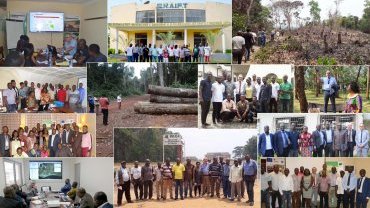
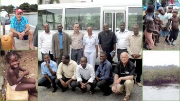
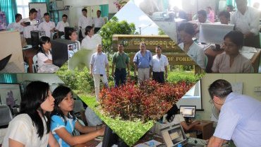
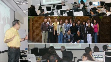
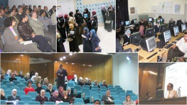
Visioterra offers training in the use of the geoservices platforms that its engineers have designed. These trainings are given in-situ and often lead to field missions in the forest or in the bush to verify the events detected by photo-interpretation of satellite images.
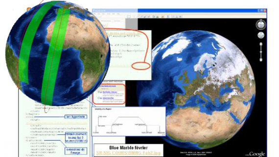
The Copernicus Earth Observation program is an opportunity offered by the European Union to the world and in particular to developing countries. The free data from its Sentinel satellites and the Copernicus services make it possible to map, monitor and model large areas with a high revisit frequency.
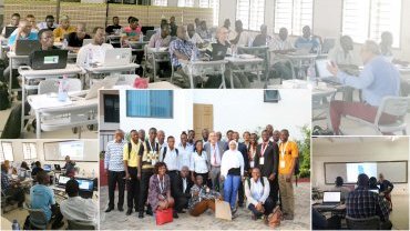
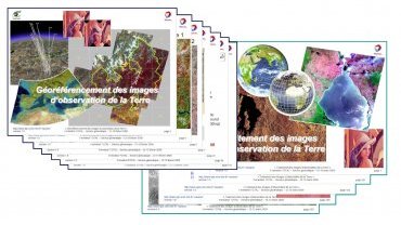
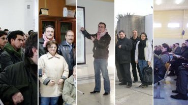
VisioTerra has been awarded the Copernicus Academy label for its recognized expertise in remote sensing and information technology. This knowledge is shared by VisioTerra staff with students from universities, engineering schools and institutes in France and around the world. Training modules concern -Earth observation, -Image processing, -GIS practice (QGIS), -Initiation to geodesy, -Digital Terrain Models (DTM), -Data fusion...